Real water. Personal history. Smarter next moves.
The fishing world should feel alive.
Explore real water. Build your fishing collection. GeoTackle connects where you go, what you catch, and how you fish so every outing can make the next one more informed.
Intelligence built into the fishing world
An intelligent fishing system that gets more useful the more you fish.
GeoTackle is being built around a geospatial intelligence layer embedded in the fishing experience. It understands the water you are on, the context around you, the fishing history you are building, and what you want to do next — without reducing the product to a generic AI chat window.
Explore
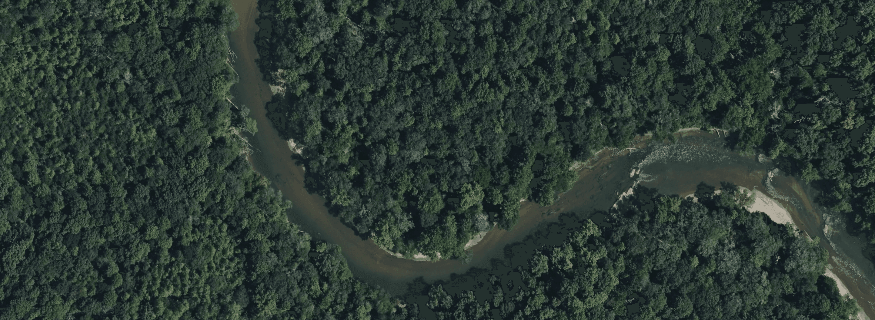
Real water becomes your world.
From familiar reservoirs to hidden rivers, GeoTackle connects movement, location, and water identity so the places you actually fish become the foundation of the experience.
Understand
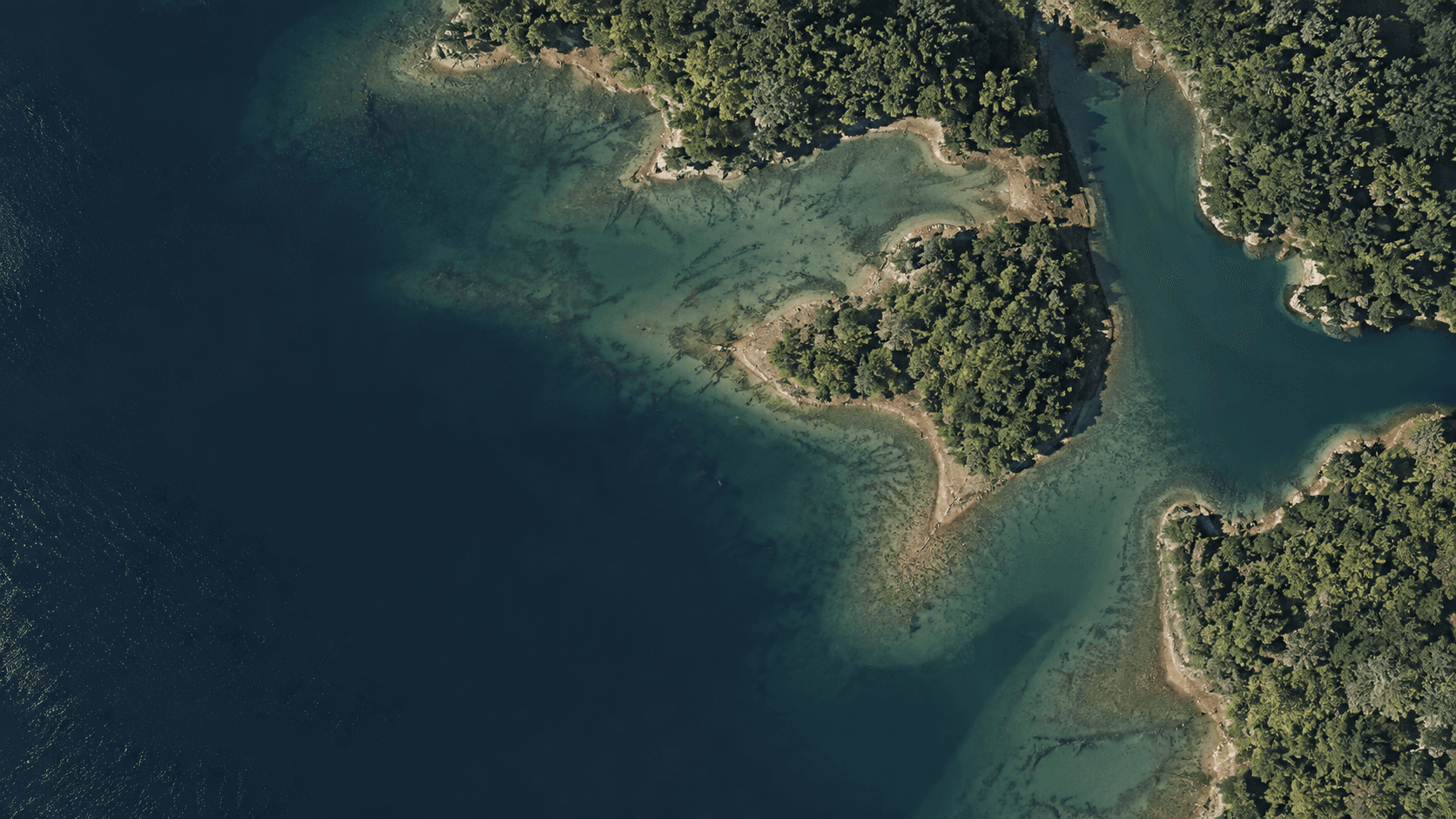
Intelligence that knows where you are.
GeoTackle brings the water beneath you, nearby geography, species, conditions, your previous catches, collection gaps, and current objectives into the same context — so guidance starts from the fishing situation you are actually in.
Collect
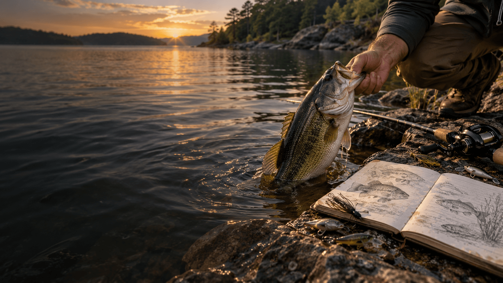
Build a fishing collection that can only be earned by fishing.
Catches, species, waters, personal milestones, completed objectives, and places experienced become a persistent record of your fishing world. Every outing leaves something useful behind.
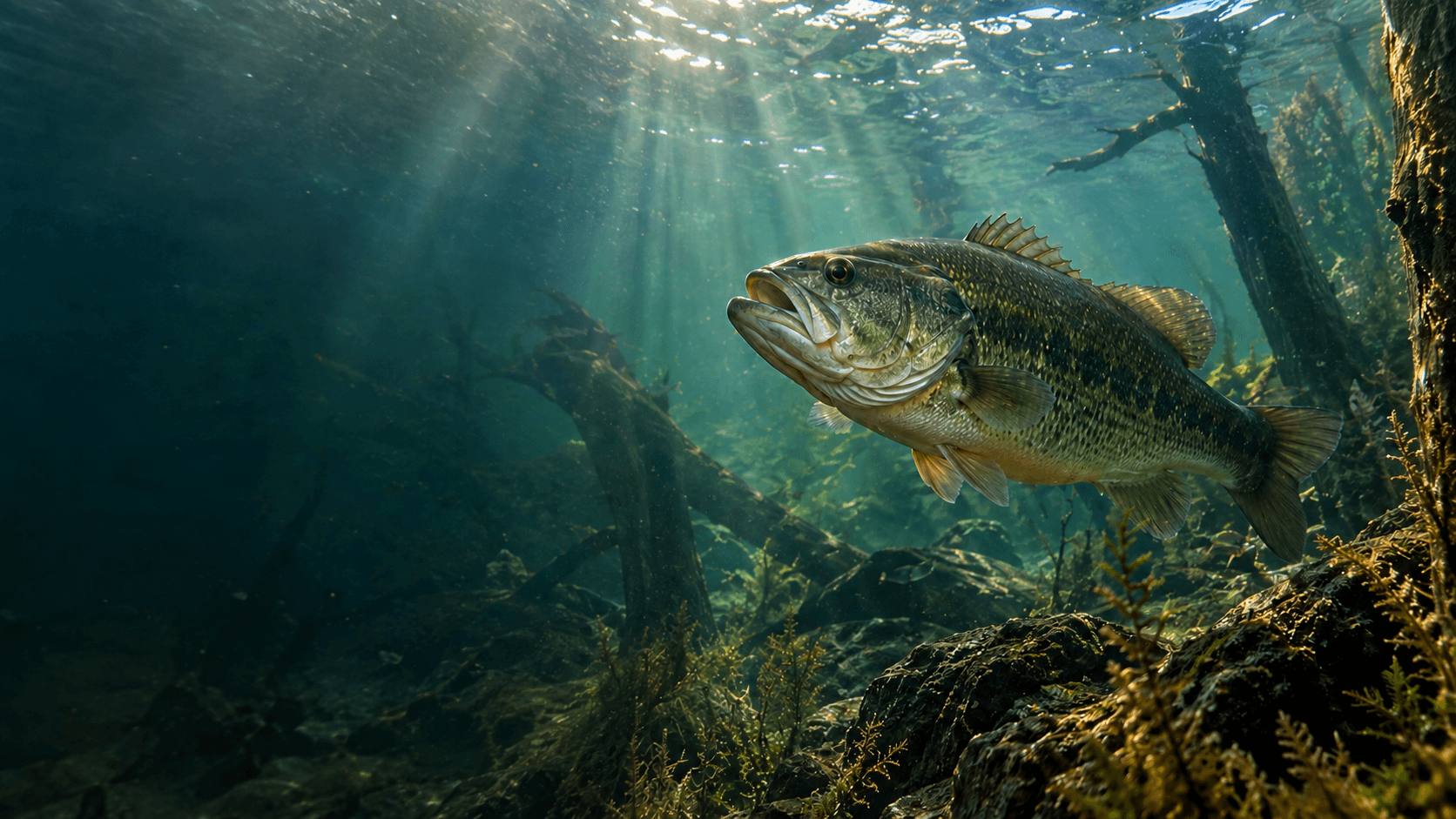
Adapt
Every outing makes the next one more informed.
Where you fish, what you target, what you catch, the conditions you encounter, and what you try become fishing history GeoTackle can use as context the next time you head out.
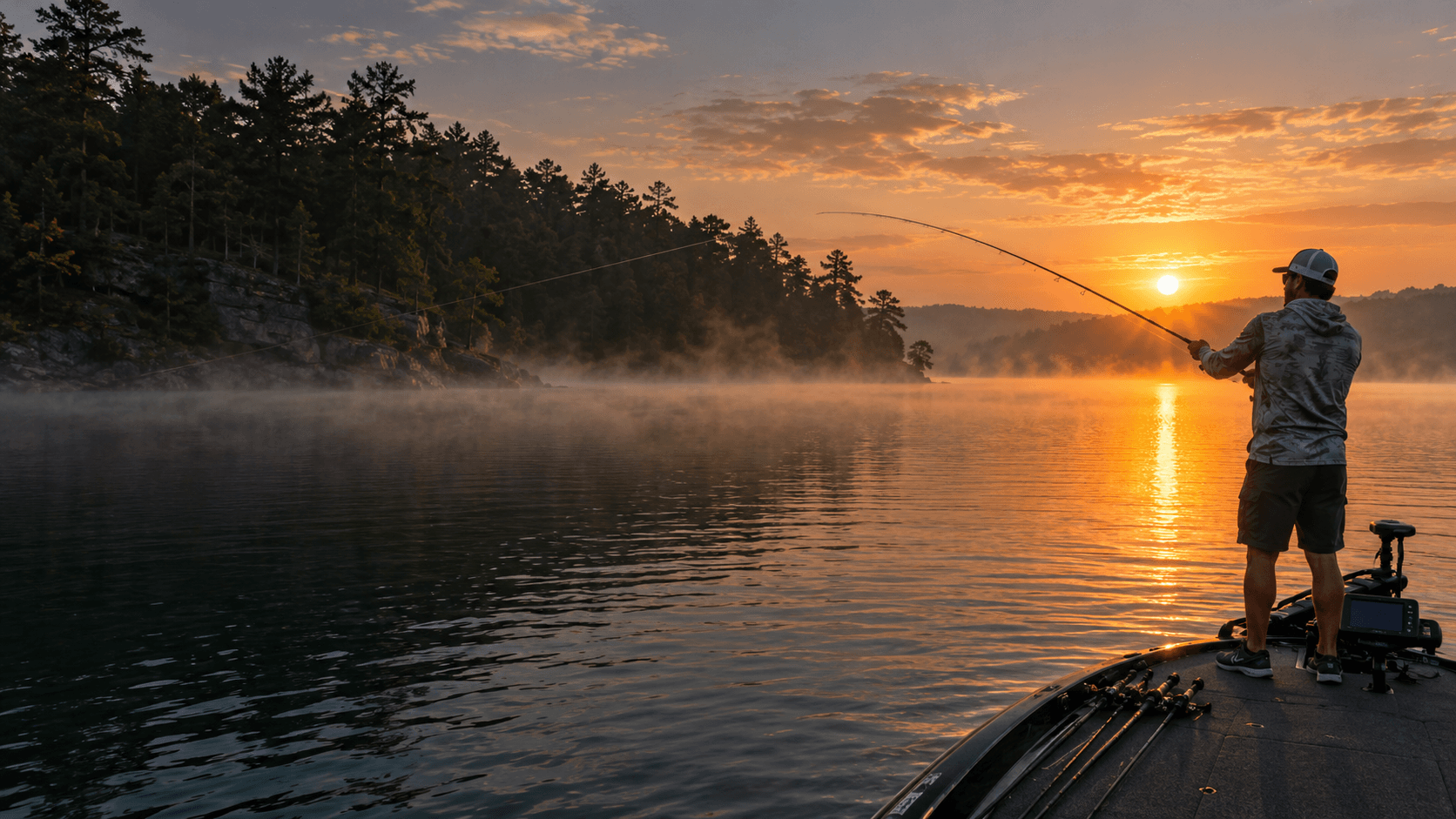
Challenges
A reason to fish somewhere new.
Location-based objectives can push you toward another water, a different species, or a new way to fish. Challenges create momentum, while the collection and intelligence make that progress matter over time.
The compounding loop
Every outing adds context to the next one.
Interested in GeoTackle?
We are building fishing intelligence that compounds with experience.
GeoTackle is currently in development. If you want to discuss the product, geospatial fishing technology, collaboration, or another serious inquiry, send a note here.
Real water. Personal history. Better context.